
Chameza topographic map
Interactive map
Click on the map to display elevation.
About this map
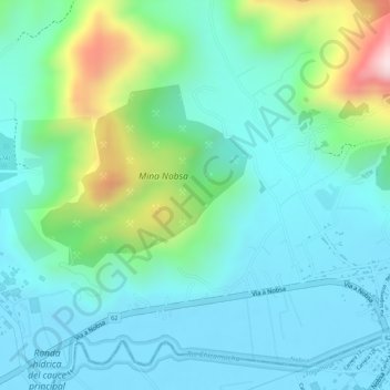
Name: Chameza topographic map, elevation, terrain.
Location: Chameza, Nobsa, Sagamuxi, Boyacá, Colombia (5.75937 -72.92997 5.77937 -72.90997)
Average elevation: 2,565 m
Minimum elevation: 2,472 m
Maximum elevation: 2,850 m
Other topographic maps
Click on a map to view its topography, its elevation and its terrain.