
DICHO topographic map
Interactive map
Click on the map to display elevation.
About this map
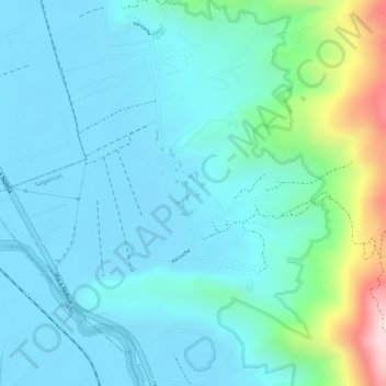
Name: DICHO topographic map, elevation, terrain.
Location: DICHO, Nobsa, Santa Rosa de Viterbo, Boyacá, Colombia (5.77625 -72.98131 5.79625 -72.96131)
Average elevation: 2,551 m
Minimum elevation: 2,474 m
Maximum elevation: 2,881 m
Other topographic maps
Click on a map to view its topography, its elevation and its terrain.