
Kastanienbaum topographic map
Interactive map
Click on the map to display elevation.
About this map
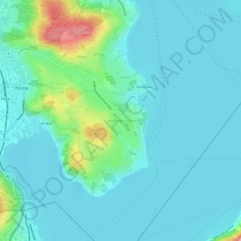
Name: Kastanienbaum topographic map, elevation, terrain.
Location: Kastanienbaum, Horw, Luzern, 6047, Schweiz (46.99308 8.31487 47.03308 8.35487)
Average elevation: 457 m
Minimum elevation: 425 m
Maximum elevation: 616 m
Other topographic maps
Click on a map to view its topography, its elevation and its terrain.