
Latitude Margaritaville topographic map
Interactive map
Click on the map to display elevation.
About this map
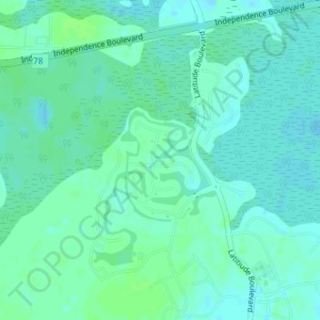
Name: Latitude Margaritaville topographic map, elevation, terrain.
Average elevation: 4 m
Minimum elevation: -2 m
Maximum elevation: 8 m
Other topographic maps
Click on a map to view its topography, its elevation and its terrain.
Hardeeville
United States > South Carolina > Jasper County > Hardeeville
Hardeeville, Jasper County, South Carolina, United States
Average elevation: 5 m