
Puerto Lleras topographic map
Interactive map
Click on the map to display elevation.
About this map
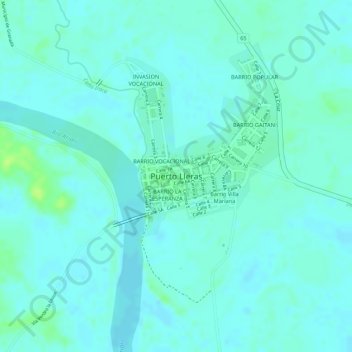
Name: Puerto Lleras topographic map, elevation, terrain.
Location: Puerto Lleras, HUMEDAL, Puerto Lleras, Ariari, Meta, Colombia (3.26968 -73.37565 3.26978 -73.37555)
Average elevation: 234 m
Minimum elevation: 229 m
Maximum elevation: 244 m
Other topographic maps
Click on a map to view its topography, its elevation and its terrain.