
Milroy topographic map
Interactive map
Click on the map to display elevation.
About this map
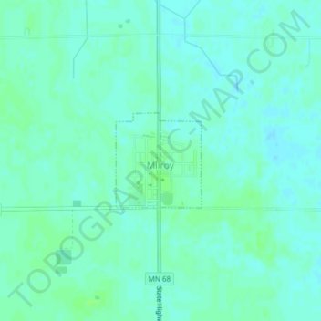
Name: Milroy topographic map, elevation, terrain.
Location: Milroy, Redwood County, Minnesota, United States (44.41400 -95.55855 44.42201 -95.54845)
Average elevation: 337 m
Minimum elevation: 333 m
Maximum elevation: 341 m
Other topographic maps
Click on a map to view its topography, its elevation and its terrain.