
Ennenda topographic map
Interactive map
Click on the map to display elevation.
About this map
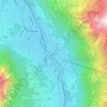
Name: Ennenda topographic map, elevation, terrain.
Location: Ennenda, Glarus, 8755, Schweiz (47.01383 9.05792 47.05383 9.09792)
Average elevation: 868 m
Minimum elevation: 463 m
Maximum elevation: 2,177 m
Other topographic maps
Click on a map to view its topography, its elevation and its terrain.