
Mount Jackson topographic map
Interactive map
Click on the map to display elevation.
About this map
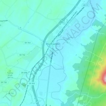
Name: Mount Jackson topographic map, elevation, terrain.
Location: Mount Jackson, Shenandoah County, Virginia, United States (38.70190 -78.68266 38.77681 -78.61350)
Average elevation: 306 m
Minimum elevation: 250 m
Maximum elevation: 738 m
Other topographic maps
Click on a map to view its topography, its elevation and its terrain.