
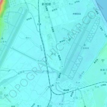
嘉里 topographic map
Interactive map
Click on the map to display elevation.
About this map
Name: 嘉里 topographic map, elevation, terrain.
Location: 嘉里, 新城鄉, 花蓮縣, 971, 臺灣 (24.00048 121.58723 24.04048 121.62723)
Average elevation: 18 m
Minimum elevation: 0 m
Maximum elevation: 226 m
Other topographic maps
Click on a map to view its topography, its elevation and its terrain.