
順安村 topographic map
Interactive map
Click on the map to display elevation.
About this map
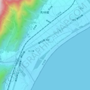
Name: 順安村 topographic map, elevation, terrain.
Location: 順安村, 新城鄉, 花蓮縣, 臺灣 (24.09234 121.60829 24.12269 121.64612)
Average elevation: 64 m
Minimum elevation: 0 m
Maximum elevation: 690 m
Other topographic maps
Click on a map to view its topography, its elevation and its terrain.