
Fruitland Park topographic map
Interactive map
Click on the map to display elevation.
About this map
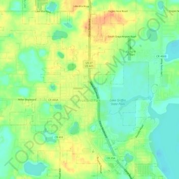
Name: Fruitland Park topographic map, elevation, terrain.
Location: Fruitland Park, Lake County, Florida, 34731, United States (28.83959 -81.94573 28.88936 -81.88702)
Average elevation: 31 m
Minimum elevation: 11 m
Maximum elevation: 55 m
Other topographic maps
Click on a map to view its topography, its elevation and its terrain.