
La Oroya topographic map
Interactive map
Click on the map to display elevation.
About this map
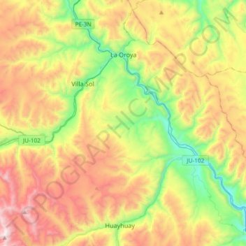
Name: La Oroya topographic map, elevation, terrain.
Location: La Oroya, Province of Yauli, Junín, Peru (-11.74678 -75.98642 -11.45756 -75.70028)
Average elevation: 4,262 m
Minimum elevation: 3,552 m
Maximum elevation: 5,215 m
Other topographic maps
Click on a map to view its topography, its elevation and its terrain.