Geolocate

Beaver topographic map

Click on the map to display elevation.

About this map

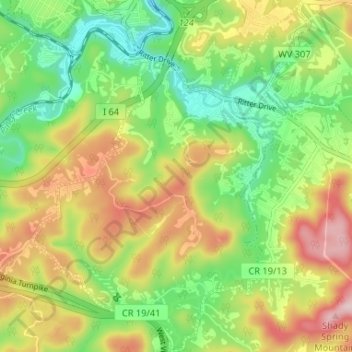
Name: Beaver topographic map, elevation, terrain.

Location: Beaver, Raleigh County, West Virginia, 25816, United States (37.71252 -81.17684 37.76429 -81.12474)

Average elevation: 746 m

Minimum elevation: 624 m

Maximum elevation: 899 m

Other topographic maps

Click on a map to view its topography, its elevation and its terrain.

Dry Hill

United States > West Virginia > Raleigh County

Average elevation: 730 m

Odd

United States > West Virginia > Raleigh County

Average elevation: 860 m

Harper

United States > West Virginia > Raleigh County

Average elevation: 693 m

Pluto

United States > West Virginia > Raleigh County

Average elevation: 867 m

Gear up for your next adventure:

🧭GPS Trackers - Tracking devices for safety and navigation
🎒Hiking Child Carriers - Explore the outdoors with the whole family safely
💧Hydration Reservoirs - Convenient water bladders for hands-free drinking on the move
👖Packable Overtrousers - Quick-deploy rain protection for legs in sudden storms
🗺️Scratch-off Peak Maps - Track your progress climbing Munros or Wainwrights

As an Amazon Associate, this site earns from qualifying purchases at no extra cost to you.