
Preah Vihear topographic map
Interactive map
Click on the map to display elevation.
About this map
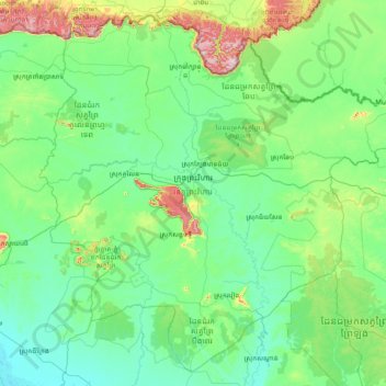
Name: Preah Vihear topographic map, elevation, terrain.
Location: Preah Vihear, Cambodia (13.05535 104.35800 14.43742 105.89925)
Average elevation: 108 m
Minimum elevation: 6 m
Maximum elevation: 744 m
Other topographic maps
Click on a map to view its topography, its elevation and its terrain.