
Srok Kulaen topographic map
Interactive map
Click on the map to display elevation.
About this map
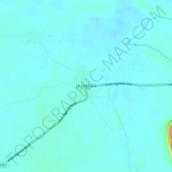
Name: Srok Kulaen topographic map, elevation, terrain.
Location: Srok Kulaen, Preah Vihear, Cambodia (13.77876 104.65968 13.85876 104.73968)
Average elevation: 61 m
Minimum elevation: 46 m
Maximum elevation: 243 m
Other topographic maps
Click on a map to view its topography, its elevation and its terrain.