
ST9 topographic map
Interactive map
Click on the map to display elevation.
About this map
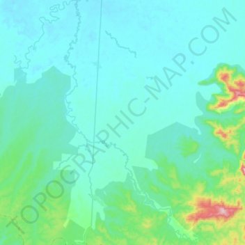
Name: ST9 topographic map, elevation, terrain.
Location: ST9, Tanai Township, Myitkyina District, Kachin, Myanmar (26.03379 96.68510 26.28308 96.89303)
Average elevation: 262 m
Minimum elevation: 200 m
Maximum elevation: 750 m
Other topographic maps
Click on a map to view its topography, its elevation and its terrain.