
ST6 topographic map
Interactive map
Click on the map to display elevation.
About this map
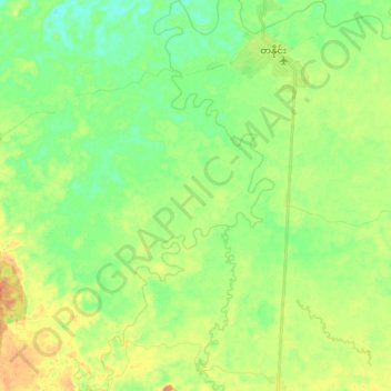
Name: ST6 topographic map, elevation, terrain.
Location: ST6, Tanai Township, Myitkyina District, Kachin, Myanmar (26.21400 96.62822 26.37727 96.72144)
Average elevation: 206 m
Minimum elevation: 189 m
Maximum elevation: 231 m
Other topographic maps
Click on a map to view its topography, its elevation and its terrain.
ST9
Myanmar > Kachin > Tanai Township
ST9, Tanai Township, Myitkyina District, Kachin, Myanmar
Average elevation: 262 m