
Caño Negro topographic map
Interactive map
Click on the map to display elevation.
About this map
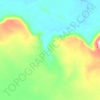
Name: Caño Negro topographic map, elevation, terrain.
Location: Caño Negro, Distrito Heres, Estado Bolívar, Venezuela (6.20874 -63.36948 6.27879 -63.31899)
Average elevation: 420 m
Minimum elevation: 313 m
Maximum elevation: 655 m
Other topographic maps
Click on a map to view its topography, its elevation and its terrain.
Caroni
Caroni, Parroquia Barceloneta, Estado Bolívar, Venezuela
Average elevation: 532 m