
Caroni topographic map
Interactive map
Click on the map to display elevation.
About this map
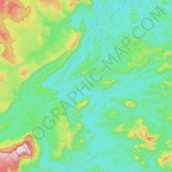
Name: Caroni topographic map, elevation, terrain.
Location: Caroni, Parroquia Barceloneta, Estado Bolívar, Venezuela (4.00859 -63.04337 4.30298 -62.92973)
Average elevation: 532 m
Minimum elevation: 354 m
Maximum elevation: 1,268 m
Other topographic maps
Click on a map to view its topography, its elevation and its terrain.
Caño Negro
Caño Negro, Distrito Heres, Estado Bolívar, Venezuela
Average elevation: 420 m