
Thada topographic map
Interactive map
Click on the map to display elevation.
About this map
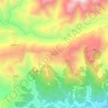
Name: Thada topographic map, elevation, terrain.
Location: Thada, Shitaganga, Arghakhanchi, Nepal (27.84137 83.07597 27.88137 83.11597)
Average elevation: 1,123 m
Minimum elevation: 681 m
Maximum elevation: 1,588 m
Other topographic maps
Click on a map to view its topography, its elevation and its terrain.