
Roni topographic map
Interactive map
Click on the map to display elevation.
About this map
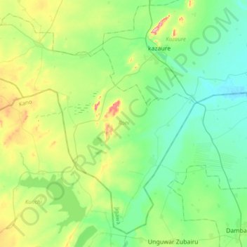
Name: Roni topographic map, elevation, terrain.
Location: Roni, Jigawa, Nigéria (12.42978 8.15324 12.69568 8.45843)
Average elevation: 463 m
Minimum elevation: 411 m
Maximum elevation: 608 m
Other topographic maps
Click on a map to view its topography, its elevation and its terrain.