Geolocate

Lakha topographic map

Interactive map

Click on the map to display elevation.

About this map

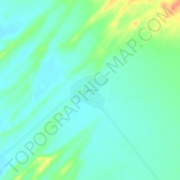
Name: Lakha topographic map, elevation, terrain.

Location: Lakha, Fatehgarh Tehsil, Jaisalmer District, Rajasthan, India (26.12696 70.96108 26.16696 71.00108)

Average elevation: 272 m

Minimum elevation: 260 m

Maximum elevation: 304 m

Other topographic maps

Click on a map to view its topography, its elevation and its terrain.

Desert National Park (Thar)

India > Rajasthan > Fatehgarh Tehsil

Desert National Park (Thar), Fatehgarh Tehsil, Jaisalmer District, Rajasthan, 345027, India

Average elevation: 164 m

Megha

India > Rajasthan > Fatehgarh Tehsil

Megha, Fatehgarh Tehsil, Jaisalmer District, Rajasthan, India

Average elevation: 268 m

Bhopa

India > Rajasthan > Fatehgarh Tehsil > Bhopa

Bhopa, Fatehgarh Tehsil, Jaisalmer, Rajasthan, India

Average elevation: 272 m