Geolocate

Shirley topographic map

Click on the map to display elevation.

About this map

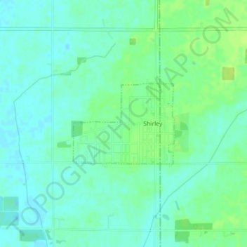
Name: Shirley topographic map, elevation, terrain.

Location: Shirley, Hancock County, Indiana, United States (39.88727 -85.58836 39.89607 -85.57394)

Average elevation: 312 m

Minimum elevation: 306 m

Maximum elevation: 320 m

Other topographic maps

Click on a map to view its topography, its elevation and its terrain.

Cleveland

United States > Indiana > Hancock County

Average elevation: 292 m

Gear up for your next adventure:

🦟Anti-Midge & Tick Repellent - Vital for hiking in the Scottish Highlands during summer
🌄Compact Monoculars - Lightweight optics for hiking
🎒Hiking Child Carriers - Explore the outdoors with the whole family safely
🛰️Outdoor GPS Navigation - Navigation devices for remote and off-grid areas
🧘Folding Sit Mats - Dry and warm seat for map-reading breaks on damp ground

As an Amazon Associate, this site earns from qualifying purchases at no extra cost to you.