Geolocate

Cleveland topographic map

Click on the map to display elevation.

About this map

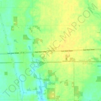
Name: Cleveland topographic map, elevation, terrain.

Location: Cleveland, Hancock County, Indiana, 46117, United States (39.77072 -85.66505 39.81072 -85.62505)

Average elevation: 292 m

Minimum elevation: 279 m

Maximum elevation: 301 m

Other topographic maps

Click on a map to view its topography, its elevation and its terrain.

Shirley

United States > Indiana > Hancock County

Average elevation: 312 m

Greenfield

United States > Indiana > Hancock County

Average elevation: 272 m

McCordsville

United States > Indiana > Hancock County

Average elevation: 259 m

Greenfield

United States > Indiana > Hancock County

Average elevation: 272 m

Gear up for your next adventure:

👖Hiking Trousers - Durable trousers designed for rough terrain
🐕Hiking Dog Harnesses - Rugged harnesses for taking your companion on mountain trails
Altimeter Watches - Watches measuring altitude for mountain activities
📍Handheld GPS Navigators - Reliable satellite navigation for hiking and off-road exploration
📐Altimeters & Barometers - Tools for measuring altitude and air pressure

As an Amazon Associate, this site earns from qualifying purchases at no extra cost to you.