
Carbondale topographic map
Interactive map
Click on the map to display elevation.
About this map
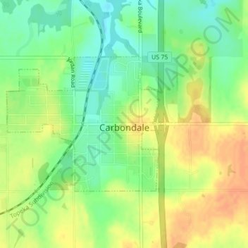
Name: Carbondale topographic map, elevation, terrain.
Location: Carbondale, Osage County, Kansas, United States (38.81164 -95.70565 38.82632 -95.68340)
Average elevation: 340 m
Minimum elevation: 321 m
Maximum elevation: 357 m
Other topographic maps
Click on a map to view its topography, its elevation and its terrain.