
Rossberg topographic map
Interactive map
Click on the map to display elevation.
About this map
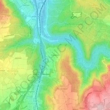
Name: Rossberg topographic map, elevation, terrain.
Average elevation: 542 m
Minimum elevation: 437 m
Maximum elevation: 691 m
Other topographic maps
Click on a map to view its topography, its elevation and its terrain.
Reutlingen
Schweiz > Zürich > Bezirk Winterthur > Winterthur > Reutlingen
Reutlingen, Winterthur, Bezirk Winterthur, Zürich, 8404, Schweiz
Average elevation: 479 m