
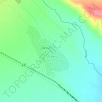
Тасарық topographic map
Interactive map
Click on the map to display elevation.
About this map
Name: Тасарық topographic map, elevation, terrain.
Location: Тасарық, Urzhar District, Abay Region, Kazakhstan (47.09803 81.28707 47.11132 81.30400)
Average elevation: 532 m
Minimum elevation: 506 m
Maximum elevation: 598 m
Other topographic maps
Click on a map to view its topography, its elevation and its terrain.