
Showa Ward topographic map
Interactive map
Click on the map to display elevation.
About this map
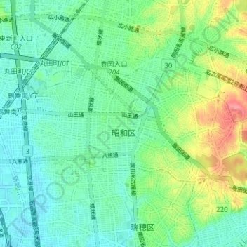
Name: Showa Ward topographic map, elevation, terrain.
Location: Showa Ward, Nagoya, Aichi Prefecture, Japan (35.13557 136.91023 35.15947 136.97284)
Average elevation: 26 m
Minimum elevation: 2 m
Maximum elevation: 83 m
Other topographic maps
Click on a map to view its topography, its elevation and its terrain.