
Loye topographic map
Interactive map
Click on the map to display elevation.
About this map
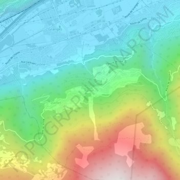
Name: Loye topographic map, elevation, terrain.
Location: Loye, Grône, Sierre, Vallés, 3979, Suiza (46.22528 7.45425 46.26528 7.49425)
Average elevation: 997 m
Minimum elevation: 494 m
Maximum elevation: 2,086 m
Other topographic maps
Click on a map to view its topography, its elevation and its terrain.