
龙凤场镇 topographic map
Interactive map
Click on the map to display elevation.
About this map
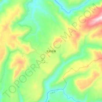
Name: 龙凤场镇 topographic map, elevation, terrain.
Location: 龙凤场镇, 通江县, 巴中市, 四川省, 中国 (31.98273 107.52936 32.06273 107.60936)
Average elevation: 799 m
Minimum elevation: 503 m
Maximum elevation: 1,293 m
Other topographic maps
Click on a map to view its topography, its elevation and its terrain.