
Tangerang Regency topographic map
Interactive map
Click on the map to display elevation.
About this map
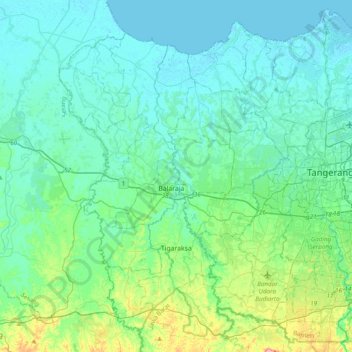
Name: Tangerang Regency topographic map, elevation, terrain.
Location: Tangerang Regency, Banten, Indonesia (-6.36292 106.33839 -6.00064 106.72621)
Average elevation: 20 m
Minimum elevation: -2 m
Maximum elevation: 127 m
Other topographic maps
Click on a map to view its topography, its elevation and its terrain.
Kampung Melayu Barat
Indonesia > Banten > Tangerang Regency > Kampung Melayu Barat
Average elevation: 5 m