
Suradita topographic map
Interactive map
Click on the map to display elevation.
About this map
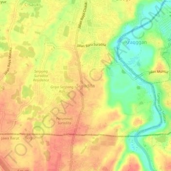
Name: Suradita topographic map, elevation, terrain.
Location: Suradita, Tangerang Regency, Banten, 15312, Indonesia (-6.37041 106.61918 -6.33041 106.65918)
Average elevation: 49 m
Minimum elevation: 14 m
Maximum elevation: 71 m
Other topographic maps
Click on a map to view its topography, its elevation and its terrain.