
Sea-Shell Park topographic map
Interactive map
Click on the map to display elevation.
About this map
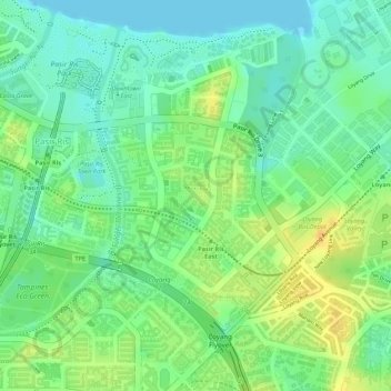
Name: Sea-Shell Park topographic map, elevation, terrain.
Location: Sea-Shell Park, Pasir Ris, Northeast, Singapore (1.36937 103.95828 1.37102 103.96061)
Average elevation: 15 m
Minimum elevation: -1 m
Maximum elevation: 33 m
Other topographic maps
Click on a map to view its topography, its elevation and its terrain.
Pasir Ris Park
Singapore > Northeast > Singapore
Pasir Ris Park, Pasir Ris, Singapore, Northeast, Singapore
Average elevation: 7 m