
Punggol Dam topographic map
Interactive map
Click on the map to display elevation.
About this map
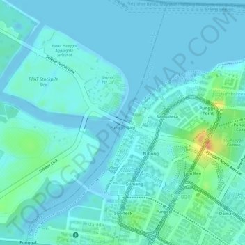
Name: Punggol Dam topographic map, elevation, terrain.
Location: Punggol Dam, Punggol, Northeast, Singapore (1.41405 103.89629 1.41527 103.89801)
Average elevation: 8 m
Minimum elevation: -4 m
Maximum elevation: 43 m
Other topographic maps
Click on a map to view its topography, its elevation and its terrain.
Pasir Ris Park
Singapore > Northeast > Singapore
Pasir Ris Park, Pasir Ris, Singapore, Northeast, Singapore
Average elevation: 7 m
Sea-Shell Park
Sea-Shell Park, Pasir Ris, Northeast, Singapore
Average elevation: 15 m