
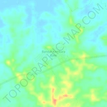
Bandar Kembara Sakti topographic map
Interactive map
Click on the map to display elevation.
About this map
Name: Bandar Kembara Sakti topographic map, elevation, terrain.
Average elevation: 14 m
Minimum elevation: 2 m
Maximum elevation: 46 m
Other topographic maps
Click on a map to view its topography, its elevation and its terrain.
Gunung Silam
Malaysia > Sabah > Lahad Datu
Gunung Silam, Lahad Datu, Tawau Division, Sabah, Malaysia
Average elevation: 539 m
Lahad Datu
Malaysia > Sabah > Lahad Datu
Lahad Datu, Tawau Division, Sabah, 91100, Malaysia
Average elevation: 17 m