
Brazil topographic map
Interactive map
Click on the map to display elevation.
About this map
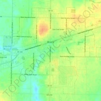
Name: Brazil topographic map, elevation, terrain.
Location: Brazil, Clay County, Indiana, États-Unis d'Amérique (39.50397 -87.14804 39.53678 -87.09854)
Average elevation: 203 m
Minimum elevation: 184 m
Maximum elevation: 221 m
Other topographic maps
Click on a map to view its topography, its elevation and its terrain.
Shady Lane
États-Unis d'Amérique > Indiana > Clay County
Shady Lane, Van Buren Township, Clay County, Indiana, 47853, États-Unis d'Amérique
Average elevation: 207 m