
Shady Lane topographic map
Interactive map
Click on the map to display elevation.
About this map
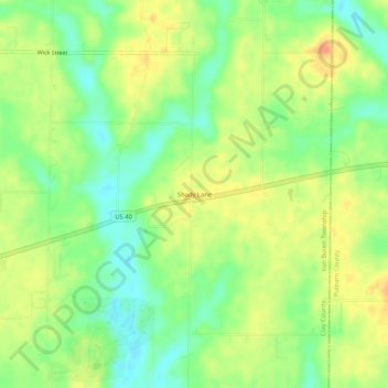
Name: Shady Lane topographic map, elevation, terrain.
Average elevation: 207 m
Minimum elevation: 185 m
Maximum elevation: 229 m
Other topographic maps
Click on a map to view its topography, its elevation and its terrain.
Brazil
États-Unis d'Amérique > Indiana > Clay County
Brazil, Clay County, Indiana, États-Unis d'Amérique
Average elevation: 203 m