
Magüi topographic map
Interactive map
Click on the map to display elevation.
About this map
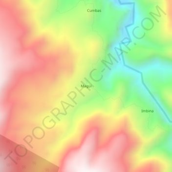
Name: Magüi topographic map, elevation, terrain.
Location: Magüi, Ricaurte, Pie de Monte Costero, Nariño, Colombia (1.12763 -78.11350 1.16763 -78.07350)
Average elevation: 1,360 m
Minimum elevation: 850 m
Maximum elevation: 1,793 m
Other topographic maps
Click on a map to view its topography, its elevation and its terrain.