
Ricaurte topographic map
Interactive map
Click on the map to display elevation.
About this map
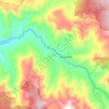
Name: Ricaurte topographic map, elevation, terrain.
Location: Ricaurte, Nariño, Colombia (1.17502 -78.04276 1.25502 -77.96276)
Average elevation: 1,504 m
Minimum elevation: 968 m
Maximum elevation: 2,129 m
Other topographic maps
Click on a map to view its topography, its elevation and its terrain.