
Budongo Forest Reserve topographic map
Interactive map
Click on the map to display elevation.
About this map
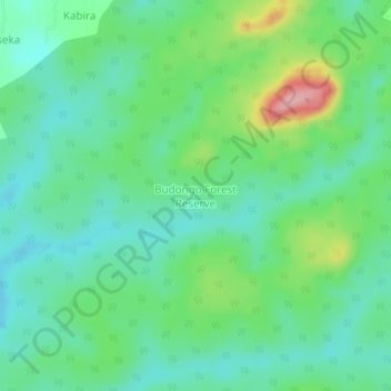
Name: Budongo Forest Reserve topographic map, elevation, terrain.
Location: Budongo Forest Reserve, Buliisa, Western Region, Uganda (1.67842 31.41054 1.71842 31.45054)
Average elevation: 1,056 m
Minimum elevation: 1,014 m
Maximum elevation: 1,165 m
Other topographic maps
Click on a map to view its topography, its elevation and its terrain.