
Masese I topographic map
Interactive map
Click on the map to display elevation.
About this map
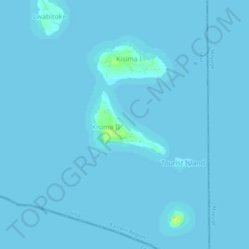
Name: Masese I topographic map, elevation, terrain.
Location: Masese I, Jinja City, Eastern Region, Uganda (0.39666 33.24776 0.43666 33.28776)
Average elevation: 1,132 m
Minimum elevation: 1,132 m
Maximum elevation: 1,147 m
Other topographic maps
Click on a map to view its topography, its elevation and its terrain.