

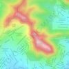
Tenancingo topographic map
Click on the map to display elevation.
Tenancingo
The seat of the municipality is the town of Tenancingo, surrounded by mountains and forest. The main elevation overlooking the town is the Cerro de las Tres Marías, topped by a giant white statue of Christ the King (Cristo Rey), built in 1985, designed by Hector Morret and visible from just about anywhere in the valley below. The monument is reachable by either climbing a staircase with 1,030 steps or by paved road. There is a lookout allowing for a 360-degree panoramic view.
About this map
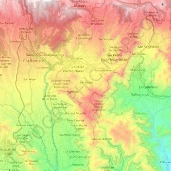
Name: Tenancingo topographic map, elevation, terrain.
Location: Tenancingo, State of Mexico, Mexico (18.81855 -99.64328 19.04121 -99.49095)
Average elevation: 2,053 m
Minimum elevation: 1,199 m
Maximum elevation: 2,943 m
Other topographic maps
Click on a map to view its topography, its elevation and its terrain.
Eje Neovolcánico
Mexico > State of Mexico > Amecameca
Volcanic ash make soils in the region very fertile, which (especially coupled with elevation making tropical climate milder) has led to high human population densities in the belt that now sometimes strain the environment.
Average elevation: 4,179 m
Santiago Tianguistenco
Mexico > State of Mexico > Tianguistenco
The municipality lies in the Trans-Mexican Volcanic Belt in the sub-province of the Lakes and Volcanoes of Anahuac. 35% of the municipality is mountainous, 30% is arable and the rest is developed. The topography of the municipality varies due to its size. The eastern portions are highest as they are in the…
Average elevation: 2,645 m
Santa Ana Jilotzingo
Mexico > State of Mexico > Jilotzingo > Santa Ana Jilotzingo
Average elevation: 2,760 m