
Huaura topographic map
Interactive map
Click on the map to display elevation.
About this map
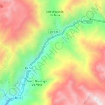
Name: Huaura topographic map, elevation, terrain.
Location: Huaura, Oyón, Lima, Perú (-10.74267 -76.85644 -10.67313 -76.78133)
Average elevation: 3,862 m
Minimum elevation: 2,715 m
Maximum elevation: 5,137 m
Other topographic maps
Click on a map to view its topography, its elevation and its terrain.