
Laguna Cochaquillo topographic map
Interactive map
Click on the map to display elevation.
About this map
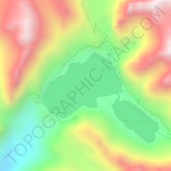
Name: Laguna Cochaquillo topographic map, elevation, terrain.
Location: Laguna Cochaquillo, Oyón, Lima, Perú (-10.80777 -76.66766 -10.79728 -76.65459)
Average elevation: 4,572 m
Minimum elevation: 4,228 m
Maximum elevation: 4,925 m
Other topographic maps
Click on a map to view its topography, its elevation and its terrain.