
Fetești topographic map
Interactive map
Click on the map to display elevation.
About this map
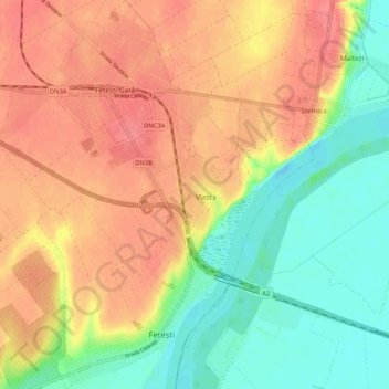
Name: Fetești topographic map, elevation, terrain.
Location: Fetești, Ialomița, Romania (44.35979 27.80349 44.43420 27.85858)
Average elevation: 37 m
Minimum elevation: 3 m
Maximum elevation: 67 m
Other topographic maps
Click on a map to view its topography, its elevation and its terrain.