
Amara topographic map
Interactive map
Click on the map to display elevation.
About this map
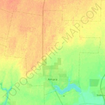
Name: Amara topographic map, elevation, terrain.
Location: Amara, Ialomița, Romania (44.60104 27.23164 44.68932 27.38489)
Average elevation: 37 m
Minimum elevation: 17 m
Maximum elevation: 49 m
Other topographic maps
Click on a map to view its topography, its elevation and its terrain.