
Lam topographic map
Click on the map to display elevation.
About this map
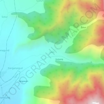
Name: Lam topographic map, elevation, terrain.
Location: Lam, Tral, Pulwama District, Jammu and Kashmir, 191103, India (34.00628 75.07622 34.04628 75.11622)
Average elevation: 2,269 m
Minimum elevation: 1,858 m
Maximum elevation: 3,155 m
Other topographic maps
Click on a map to view its topography, its elevation and its terrain.