
Seara topographic map
Interactive map
Click on the map to display elevation.
About this map
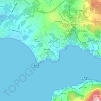
Name: Seara topographic map, elevation, terrain.
Location: Seara, Caamouco, Ares, Ferrol, Corunha, Galiza, 15623, Espanha (43.40453 -8.22823 43.44453 -8.18823)
Average elevation: 37 m
Minimum elevation: -1 m
Maximum elevation: 237 m
Other topographic maps
Click on a map to view its topography, its elevation and its terrain.