
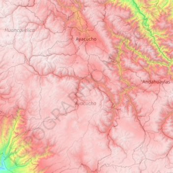
Province of Víctor Fajardo topographic map
Interactive map
Click on the map to display elevation.
About this map
Name: Province of Víctor Fajardo topographic map, elevation, terrain.
Location: Province of Víctor Fajardo, Ayacucho, Peru (-14.71181 -75.21780 -12.71181 -73.21780)
Average elevation: 3,598 m
Minimum elevation: 268 m
Maximum elevation: 5,235 m
Other topographic maps
Click on a map to view its topography, its elevation and its terrain.