
Fatutaka topographic map
Interactive map
Click on the map to display elevation.
About this map
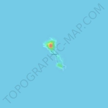
Name: Fatutaka topographic map, elevation, terrain.
Location: Fatutaka, Temotu, Solomon Islands (-11.91325 170.18600 -11.90483 170.19206)
Average elevation: 0 m
Minimum elevation: -5 m
Maximum elevation: 74 m
Other topographic maps
Click on a map to view its topography, its elevation and its terrain.